Sandy levels dune, closes IR bridge
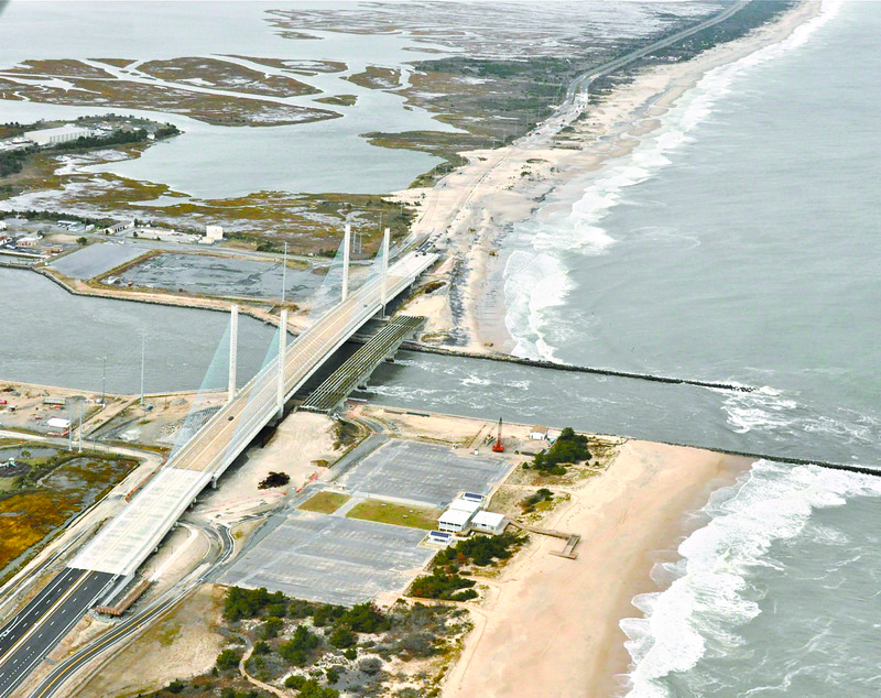
By late afternoon Nov. 1, state transportation officials were still not sure whether the Indian River Inlet bridge would reopen for weekend traffic. The bridge was closed Oct. 28 as Hurricane Sandy approached the Delaware coast.
On Oct. 31, one lane of Route 1 south was opened to emergency vehicles only.
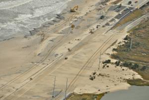
As Hurricane Sandy pushed northward toward the Mid-Atlantic region, a wind-driven high tide and waves pushed tons of sand and water across the highway, eventually reaching across to the marsh on the west side of the roadway. The water came first, followed by blowing sand that piled up quickly as storm conditions worsened during the day and into the night of Oct. 28.
As soon as conditions improved, state officials assessed the situation, and what they saw was astounding.
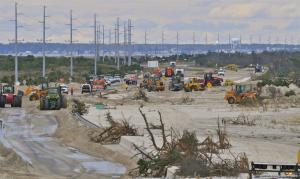
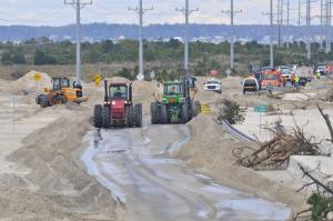
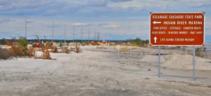
Several feet of sand covered both sides of Route 1 for half a mile on the north side of the bridge.
At least a half mile of dunes was lost, said Frank Piorko, director of the Department of Natural Resources and Environmental Control's Division of Watershed Stewardship. The good news is that nature is already starting to rebuild the destroyed beach, said Tony Pratt, administrator of DNREC's Shoreline and Management Section.
Besides assisting with moving sand off the roadway, DNREC is also getting the sand bypass system up and running to help rebuild the dunes.
The sand bypass system pumps sand from the beach on the south side of the inlet to the beach on the north side. The jetties that protect the inlet impede the normal south-to-north flow of sand along the coast, causing a sand deficit on the north side of the inlet.
A new bypass system was built as part of the Indian River Inlet bridge project. Pratt said the sand pumping system, which was damaged during the storm, should be up and running by Monday, Nov. 5.
The sand forms a protective barrier between the Route 1 and the Atlantic Ocean. “Obviously, Hurricane Sandy eroded much of the barrier, and our goal is to restore it as quickly as possible in case another storm threatens our coast,” said DeDOT spokesman Geoff Sundstrom.
Sundstrom said the first priority was to move sand off the road as quickly as possible and then assess the integrity of the roadway before a decision could be made to reopen the bridge.
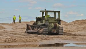
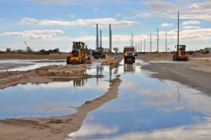
A small army of earth moving equipment and staff assistance from DelDOT, DNREC, Delaware National Guard, Army Corps of Engineers and private contractor George & Lynch has been constantly moving sand off the roadway back to the beach since the storm passed through Oct. 30.
Crews are also removing pieces of asphalt from the old bridge access road that were buried deep in the sand but are now exposed.
Sundstrom said discussions among state agencies about rebuilding the beach and preventing future erosion and washouts are ongoing. “It's important that we protect this approach because if we lose this spit of land, we have nothing to build on to the bridge,” Sundstrom said.
Not enough sand near inlet
Pratt said the storm draws attention to an ongoing problem with the beach near the inlet. “The status quo has been a sand deficit to begin with,” he said. He said the key player in any sand replenishment project is in the hands of the U.S. Army Corps of Engineers, which is responsible for inlet projects. He said state officials will likely request additional sand from outside sources through the corps. “It needs immediate attention,” he said, adding the area has never been part of a beach replenishment project. “The corps knows the federal government has the obligation.”
He said the beach on the north side of the inlet should have a 100-foot-wide dune with a 200-foot-wide beach, just like Rehoboth Beach, to provide protection to Route 1 and the bridge.
Pratt said DNREC and corps staff are in the process of taking surveys to determine how much sand eroded and how much sand remains in order to make plans for the future.


