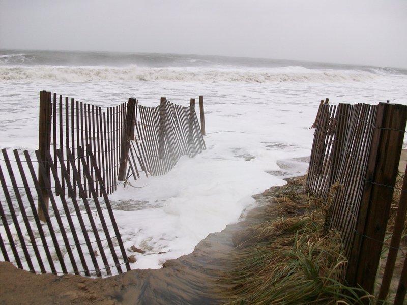
Some Dewey Beach property owners fear ocean and bay-level rise could wipe out flood-prone areas in the narrow strip of land nestled between Rehoboth Bay and the Atlantic Ocean. The town’s planning commission met May 17 to discuss strategies that would mitigate the impact of flooding and sea-level rise and lower the town’s flood insurance costs.
Flood Hazard Mapping is part of the National Flood Insurance Program and is the basis of the program’s regulations and flood insurance requirements. The NFIP Community Rating System is a voluntary program that encourages municipalities to exceed its minimum requirements; in return, the community sees discounted flood insurance premium rates.
Planning Commissioner David King said a lower CRS score could reduce flood insurance premiums for every property owner in town. On a scale of one to 10 – 10 being the highest risk – Dewey Beach has a score of eight, King said. “We can only move up to a class seven, I believe, until there are changes to our building codes,” he said.
King said Dewey Beach needs county help to get building codes updated, but there are some changes the town could make on its own. The Planning Commission could keep vacant floodplain lands open through deed restrictions and easements, King said.
The town could also increase freeboard – or feet above flood level – requirements for buildings, he said.
Two property owners sent letters to the Planning Commission about sea-level rise. Ed Beste said owners should elevate their homes to reduce flood damage.
David Jasinski said Dewey Beach should mirror Rehoboth Beach’s ordinance to increase the buffer for building around Silver Lake and Lake Gerar. “The idea is that there would be a no-build zone within 10 feet of the high water mark,” King said.
Planning commissioner Mike Paraskewich said finding the high water mark along Rehoboth Bay would be difficult, and the lines could change. “That could be very arbitrary,” he said. “It’s a living line. A contour line can move.”
Planning Commissioner Jim Dedes said the commission should get public input on potential changes to building regulations. King said he would draft an ordinance for the next meeting, scheduled for Friday, June 21.
Mike Powell of Delaware Department of Natural Resources and Environmental Control also attended the meeting. He said the Federal Emergency Management Agency is in the process of updating its floodplain maps, which show 100-year flood levels on the bayside of Dewey Beach have decreased.
King said most bayside residents argue bayside flooding has become more severe.
“Fenwick Island expressed the exact same concern,” Powell said. He said FEMA believes the old maps over-predicted flood levels, and the new maps are more accurate.
Powell said before the preliminary floodplain maps are adopted, the public would be noticed and have the right to appeal. Then, he said, municipalities would have 180 days notice of the effective date of the maps.
To view the proposed floodplain maps, go to dnrec.delaware.gov.


