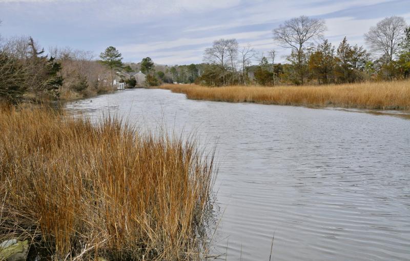
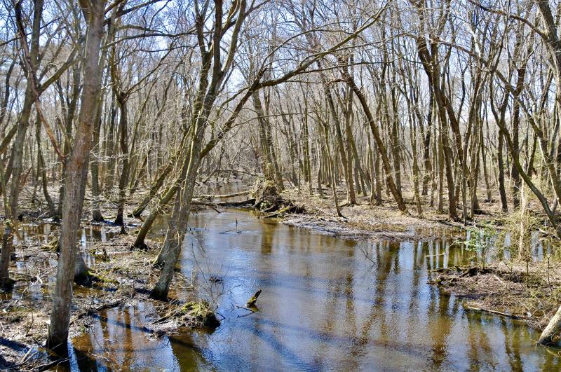
As Sussex County officials work to update the wetland buffers ordinance, a working group tasked with making recommendations is finding out the devil is in the details.
During Phase 1 of the process, the stakeholders' group appointed by county council is updating definitions in the code. During Phase 2, the group will consider amendments, such as wider wetlands buffers and restricting uses within buffers.
Defining streams and wetlands as they pertain to land use are key tasks the group is taking on. Consultant Jim Eisenhardt said proper definitions are the foundation of the ordinance, noting perennial streams, with water flowing all year, and intermittent streams, with water flow during wet periods, are regulated differently.
Perennial streams on a property may be subject to county-mandated buffers and state regulations, in coordination with Delaware Department of Natural Resources and Environmental Control officials, explained Tyler Brown, with DNREC's Division of Wetlands and Subaqueous Lands, during the group's March 6 meeting.
On the other hand, no permits or buffers are currently required for intermittent streams, which can be filled in during development of a parcel, he said.
Sussex County code requires minimum 50-foot buffers from tidal wetlands and perennial streams but no buffers from nontidal wetlands.
In the first workshop, the group reached consensus on definitions of tidal wetlands and tidal waters. The group is working on definitions for nontidal wetlands and waters, and intermittent and ephemeral streams.
Streams are identified on U.S. Geological Survey maps, which serve as the data set for Delaware regulations. Steve Smailer, in DNREC's Division of Water, said because the maps have been digitized, local agencies now have more control.
Brown said current maps are not always correct, but they can be updated with DNREC staff making determination or jurisdiction of streams at the request of property owners. “We are obligated to determine jurisdiction at no cost and meet criteria based on the reality of the site,” Smailer said.
He said the points-based evaluation is based on scientific data and includes a review of historic photos, typographic maps, and new and old aerial photos, as well as a field visit if necessary. “In the past, determining jurisdiction was subjective. This takes all opinion out of it,” Brown said.
DNREC staff use a North Carolina model for evaluations. “We've had no complaints. It's worked out well. It's consistent. It's added clarity to a situation that was very murky,” he said.
Similar to any other agency review in the land-use process, Eisenhardt said, developers must submit jurisdictional determination of streams on their property to include with their applications to the county. In addition, he said, in some cases, the Army Corps of Engineers is required to evaluate a site.
The next meeting is at 2 p.m., Wednesday, March 20, in the county west complex, Route 113, Georgetown. The public can attend the workshop, but public comment is not accepted.
PERENNIAL STREAMS
Current definition: Any body of water which contains flow during a year, which is not subject to tidal influence.
Proposed definition: A well-defined channel that flows year round during a year of normal rainfall with the aquatic bed located below the water table most of the year and not subject to tidal influence. Groundwater is the primary source of water for a perennial stream, but it can also carry runoff. It exhibits typical biological and hydrological characteristics commonly associated with the conveyance of water.
An aquatic bed is an area of plants that grow on or below the surface of water.
TIDAL WETLANDS
The state definition as referenced in the proposed county ordinance:
Wetlands shall mean those lands above the mean low water elevation including any bank, marsh, swamp, meadow, flat or other low land subject to tidal action in the state along the Delaware Bay, Delaware River, Indian River Bay, Rehoboth Bay, Little and Big Assawoman Bays, the coastal inland waterways, or along any inlet, estuary or tributary waterway or any portion thereof, including those areas which are now or in this century have been connected to tidal waters, whose surface is at or below an elevation of 2 feet above local mean high water, which support the growth of wetlands plants. In addition, wetlands are lands not currently used for agricultural purposes containing 400 acres or more of contiguous nontidal swamp, bog, muck or marsh exclusive of narrow stream valleys where freshwater stands most, if not all, of the time due to high water table, which contribute significantly to ground water recharge, and which would require intensive artificial drainage using equipment such as pumping stations, drain fields or ditches for the production of agricultural crops.
Go to www.delcode.delaware.gov/title7/c066/index.shtml.
TIDAL WATERS
The mean-high-water line of any tidal body, tidal stream or tidal marsh. The average height of all the high-tide water as recorded over a 19-year period as defined by the National Oceanic and Atmospheric Administration.
The mean-high-water line represents the maximum rise of a body of water over land based on a period of time.


