Appeal heard by Sussex County Council
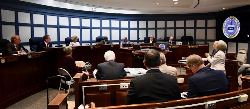
Sussex County Council spent three hours Oct. 19 hearing an appeal of the Sussex County Planning and Zoning Commission's decision to approve a preliminary site plan for the Terrapin Island subdivision.
Riber Development of Millersville, Md., filed the application for the 42-lot project on 32 acres. It was approved by the commission on July 8.
The subdivision is bordered by the Bayfront at Rehoboth community and the West Bay manufactured home park off Camp Arrowhead Road between Lewes and Long Neck.
The appeal has been placed on council's Tuesday, Oct. 26 agenda for discussion and possible action.
Council has 60 days to make a decision.
Asking for a reversal
Speaking on behalf of the 175 residents who filed the appeal, resident Michelle Forzley asked the council to reverse the commission’s decision. “They did not conduct a logical and orderly review of the evidence. If they had, the only conclusion is that this property is not suitable for construction. That's what the state's Preliminary Land Use Report said,” Forzley said.
In the PLUS process, state agencies review major subdivisions and other projects, and offer reports to county officials and the public.
Council can either uphold or reverse the commission's decision, or request a new planning and zoning commission hearing.
“There is no fix for this project. Planning and zoning got it wrong the first time, so we don't want it sent back because we are not confident they will do it right a second time,” she said.
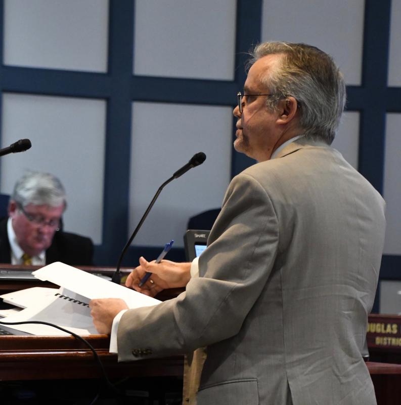
Richard Forsten, representing the developer, said most of what the appellants (residents) testified was not relevant to the central issue, which is whether or not the subdivision plan complies with provisions in the county subdivision code. He said county code allows housing in AR-1 zoning districts such as the Terrapin Island property.
Questions about the record
Resident Keith Steck, who led the effort to file the appeal, said there are errors and missing information on the application and in the public record. He said it was unclear who owns the property, and he called the July 8 meeting minutes a work of fiction. “They are like a bad episode of the Twilight Zone,” he said.
He said among errors was no mention of a preliminary or final site plan, and a contract or findings of fact were not included. He said the minutes do not reflect what is in the transcript.
In addition, he said, the applicant failed to address comments in the PLUS report.
“Their vote was invalid. It can't be valid if there are errors in the minutes or transcript,” he said.
He said the applicant characterized the project as infill in a developed area. “This is undeveloped land with a pristine woods and wetlands. It's a Level 4 rural area in the middle of a significantly environmentally sensitive area,” Steck said.
The appellants contend the commission did not follow the county comprehensive plan, which mentions that Level 4 development is to be discouraged.
Forzley said another missing document is an easement for Bayfront residents to access their beachfront through the applicant's land. “The application is required to have this on the site-plan plat,” she said.
Level 4 is one of five designations on the state's strategies for spending map. The designations outline where state officials feel development should occur based on state expenditures for infrastructure. Level 1 and Level 2, which are around towns, cities and major roadways, are considered areas most conducive to growth, while Level 4 is considered rural area to be preserved.
Issues not raised during hearing
Forsten said the Level 4 designation is irrelevant because Sussex County officials make land-use decisions, not state officials. In addition, he said, the PLUS review offers recommendations, not mandates.
“We are told material is missing but not told what the material is. Show it to us and explain why it makes a difference,” Forsten said. “If it was missing, why not say so at the hearing? It's not fair to come forward now.”
Concerning the easement, Forsten said, “We couldn't find it. It's not there. The problem is solved anyway because the developer is giving an easement to Bayfront to get to their beach and provide vehicle access.”
Forsten said many of the issues raised by the appellants were not addressed during the commission’s June 24 public hearing. “How come all of this was not said at the hearing?” he asked. “If they had complaints, they should have raised them to the commission.”
In rebuttal, Forzley said everything they presented was included in the public record submitted in letters, documents and photographs, not just what was presented the night of the public hearing.
Placement of buffers
Among the most contentious issues brought up during the appeal was the placement of buffers on the property. The appellants contend the 50-foot wetlands buffers are not on the applicant's land but in Rehoboth Bay. Forzley said, according to county code, tidal wetlands buffers are to be placed at the mean high-water line as defined by the National Oceanic and Atmospheric Administration, which is 4.23 feet above sea level. She said if the regulations were properly followed, many of the subdivision's lots could not be built on because the land would be required for buffers.
“You are supposed to put buffers on your property, and not on Bayfront property and not in the bay,” she said.
She said the appellants are only using maps provided by the applicant. “This plan would never be approved if they followed the wetlands delineations and land elevations,” she said.
She used a map to show that all or sections of lots 7-10, 11-15, 21, 38, 39 and 42 would have to be used for buffers.
Forsten said the buffers are placed properly based on Department of Natural Resources and Environmental wetlands delineation maps of the area. “If they have an issue to raise, that complaint should be with DNREC,” he said.
He said buffers around non-tidal wetlands are not required by county code, although a new ordinance is being considered to require them.
However, he said, the developer is voluntarily including a 25-foot building setback from non-tidal wetlands.
Robertson defends commission
Forzley said council can reserve the decision if they find an error in the commission’s interpretation of the subdivision chapter or if the commission's finding and conclusions were not the result of an orderly and logical review of the evidence.
“We've given many examples of errors,” Forzley said. “Planning and zoning turned a blind eye and ignored the well-being of neighboring communities.”
Forzley said the application review and appeal process needs to be revised. “There is a level of frustration with a lot of citizens who think planning and zoning has lost the public trust,” she said.
Vince Robertson, the planning and zoning commission's attorney, said he felt compelled to defend the commission based on some of the comments made by the appellants. “They must follow the code; they take their job very seriously. The conditions show thoughtful consideration,” he said.


