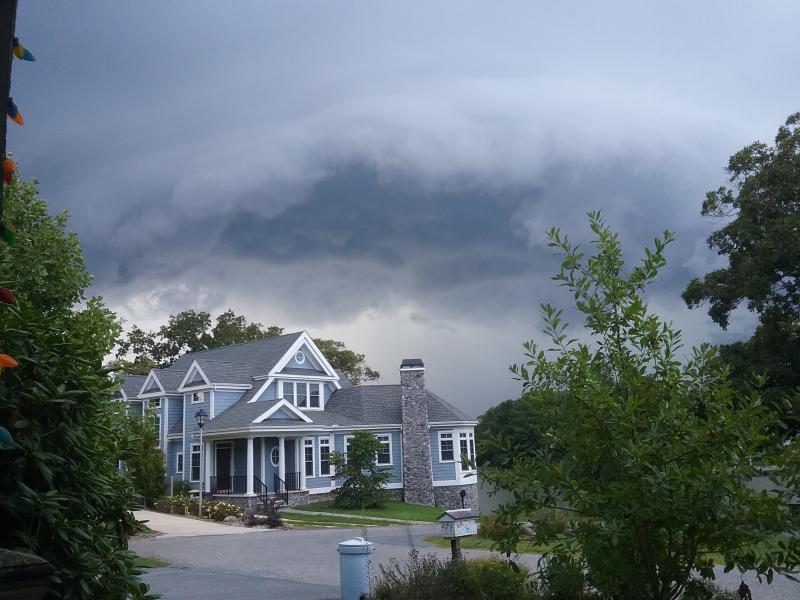
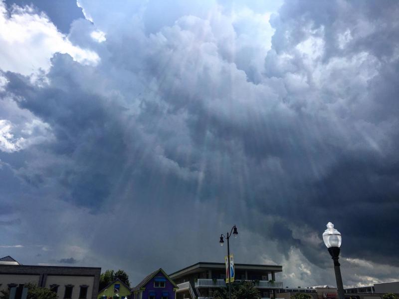
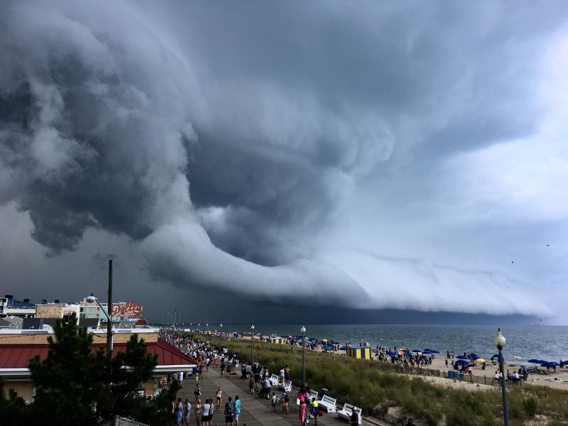
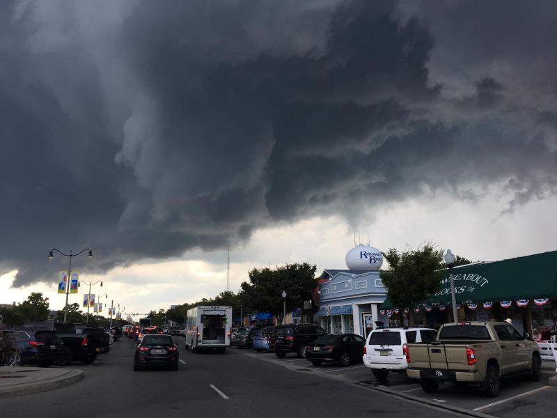
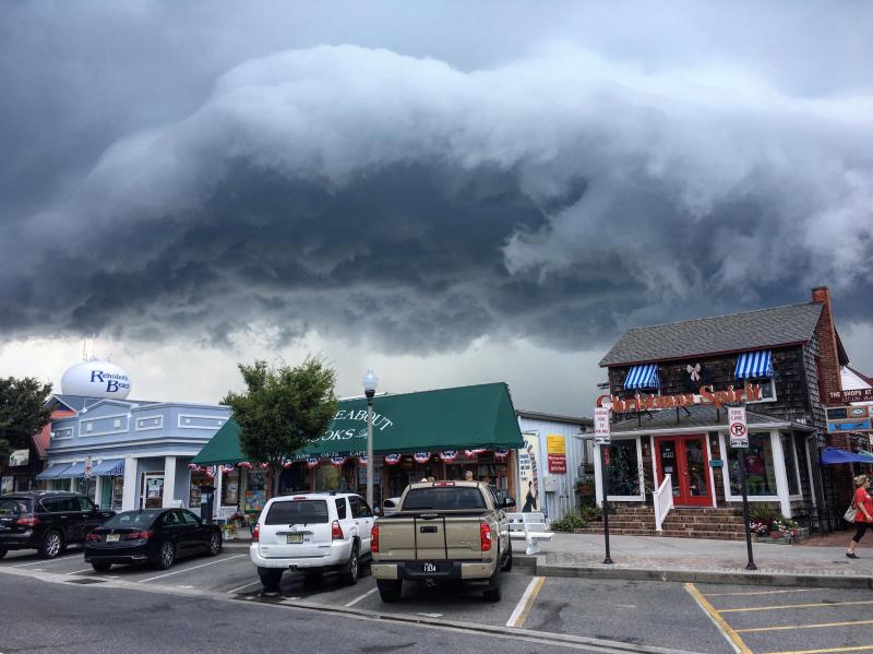
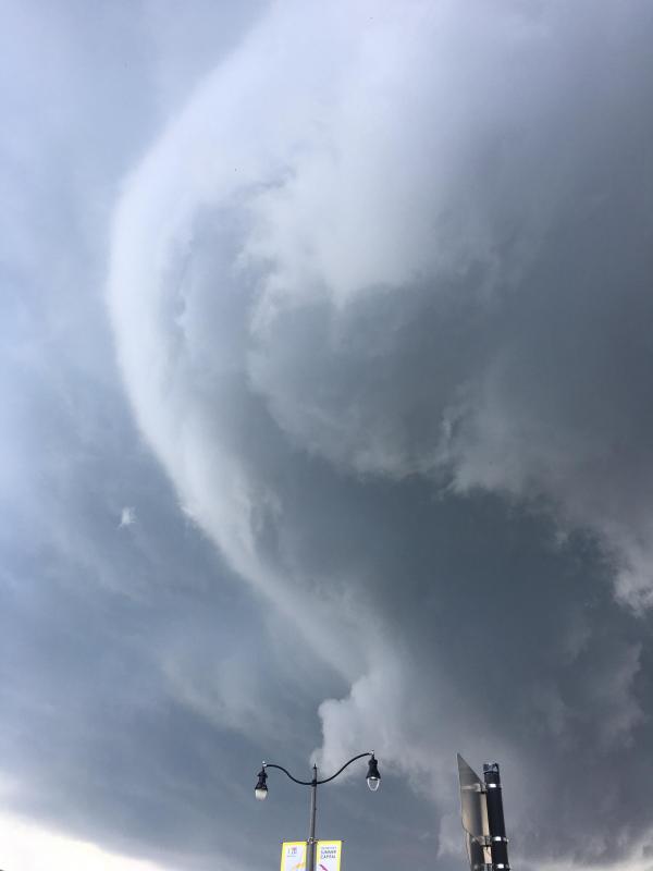
Natalie Oldham has worked at the Henlopen Acres Beach Club for four summers. She said the storm that rolled over the Cape Region area Aug. 19, fronted by an awe-inspiring shelf cloud, was crazy.
“It was definitely the scariest moment I’ve had while working here,” she said a couple days after the storm. “The storm literally seemed like a pop-up hurricane.”
Oldham said she and the club’s other staff members could see the storm coming, bringing with it a heavy dousing of rain and lightning. While lifeguards were getting guests off the 100-yard stretch of beach the club maintains, Oldham said, out of nowhere a huge cloud of blue umbrellas started tumbling their way.
“The wind had just picked them up. Fortunately, we had just closed the beach, so there weren’t too many people out there,” said Oldham, who whipped out her phone and filmed the umbrellas barreling down the beach. The video has been seen all over the place in the days since the storm. “It’s just crazy thinking about standing down there with all those umbrellas flying by. I’ve definitely heard of stories about those things getting out of control and impaling someone.”
The minute-long video shows the umbrellas moving south, from North Shores toward the beach club. Oldham said after the coast was clear, but while the storm was still pounding, she went down to the beach to help clean up the umbrellas before more flew away.
“My adrenaline was so high,” she said. “I’ve never seen anything like that before.”
According to a story from the Weather Channel, a shelf cloud is the boundary between a downdraft and updraft of a thunderstorm or line of thunderstorms. The story explains the shelf cloud forms as rain-chilled air descends in a thunderstorm's downdraft, while warmer, more moist air is lifted at the leading edge, or gust front, of this rain-cooled air. When this warm, moist air condenses, the shelf cloud is formed.
The Weather Channel story says there’s an abrupt shift in wind direction and increased wind speed as the shelf cloud's leading edge passes. Once it passes, there may be clouds with a wavy appearance, called asperitas, showing the turbulent wave-like motions behind the gust front.
The passage of the shelf cloud, the article says, is followed within minutes by heavy rain or hail. The time between the shelf cloud passage and the onset of rain depends on how far ahead the gust front is from the parent thunderstorm.
Local weather is expected to shift in the coming days, as recent hot, humid, thunderstorm-causing weather gives way to more fall-like weather. AccuWeather is calling for cooler and less humid air across the North and over the mountains, with highs in the upper 60s to the upper 70s for the weekend. Nighttime lows are forecast to be in the 40s and 50s.
However, AccuWeather doesn’t want people to get their hopes up too high – the weather predicting company is calling for normal August heat to return for the last week of the month.
Chris Flood has been working for the Cape Gazette since early 2014. He currently covers Rehoboth Beach and Henlopen Acres, but has also covered Dewey Beach and the state government. He covers environmental stories, business stories and random stories on subjects he finds interesting, and he also writes a column called Choppin’ Wood that runs every other week. He’s a graduate of the University of Maine and the Landing School of Boat Building & Design.


