If your GPS goes out, you better know how to navigate
A few weeks ago, I saw a question posted on social media from a member who asked for the “numbers” for the Baltimore Canyon. By numbers, I assumed he meant the latitude and longitude for the canyon that is about 60 miles off Indian River Inlet. If he does not know how to calculate those coordinates for that position from a chart, not a map, he has no business traveling east of the inlet bridge.
With GPS, we have become less than competent when it comes to navigation. Get on the boat, turn on the GPS, select a waypoint and keep the little boat on the line and you can’t go wrong.
My first experience with navigation was in the Navy when I was an Electronics Technician 2nd Class and assigned to the Navigation Bridge on an aircraft carrier. This was in 1962, and we had LORAN A, which at the time was state of the art. By the time you got the little man in the house, you were a good mile from that position.
The older sailors used a chart, a compass rose and parallel ruler to plot their course, and they taught me to do the same. This came in handy when I started running small boats that didn’t have LORAN. We set our course and used that round thing with the numbers and letters that spins on the console to keep track of our heading.
I must say that we didn’t always end up where we headed. I did get to know all the landmarks between Ocean City, Md., and Cape May, N.J., and what correction I needed to make to hit Indian River Inlet. I still rely on my compass, even with GPS, and try to keep the two as close together as possible.
Then came LORAN C. It was more accurate than LORAN A, but you would still run over a wreck before the unit said you were there. We would slow down about a quarter-mile from the wreck and approach slowly while watching the SONAR until we saw the structure. Even then the LORAN numbers would be off, and we would drop a marker at the LORAN spot and go in ever-increasing circles around that position until we found the wreck.
Then came GPS. Where LORAN was based on land, GPS came from satellites and was spot-on accurate. Also, the numbers that displayed on the screen were the actual latitude and longitude of your position.
If you plan to run a boat in open water, I strongly suggest a course in navigation. You can buy a self-help book online or go to a course taught by the Coast Guard Auxiliary. I suspect there are courses available online as well.
In all cases, keep track of your heading as you run out so in case you lose your GPS you will have some idea of your heading back home. That will be the reciprocal of the heading out or add 180 degrees to that heading. In other words, if you ran 90 degrees out you can run back 270 degrees, and you should come close to your starting point.
It is also a good idea to purchase waterproof charts – I use those made by Captain Seagull – and keep them on your boat. Once again, if the GPS goes out, at least you will have some idea where you are and can plot a rough course back home.
I kind of miss the old days of plotting my course, running by the compass and actually arriving somewhere close to my destination. Plus, the added bonus of seeing most of the coast of New Jersey, Delaware and Maryland.
Fishing report
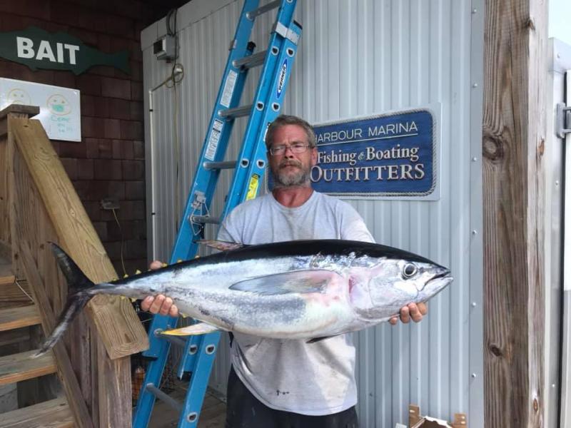
Tuna fishing has moved inshore, with yellowfin caught at the Elephant Trunk and other locations in the 20- to 30-fathom area. So far, everything I have heard about has been on the troll, but sooner or later chunking will take over.
Canyon fishing has turned to marlin and dolphin with tilefish used to fill the box. Catching a big billfish is exciting, but for the cost of an offshore trip, most folks want some meat to take home.
Closer to shore, the Old Grounds continue to produce plenty of flounder. There are more shorts than keepers, as demonstrated by a recent trip where two men on a private boat caught 30 flounder to cull out seven keepers to 23 inches. A few black sea bass remain in the same area.
Spanish mackerel are on the Fenwick Shoal and, for the first time in my memory, have been caught from the beach. On Monday, several were taken on Stingsilvers at Three Rs Road.
Delaware Bay reef sites hold spot, croaker, kings and trout.


