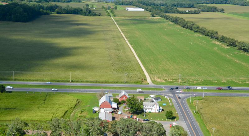
Land near Lewes changed to low-density area
Sussex County Council has protected large areas north of Lewes by changing a map in the 2018 comprehensive land-use plan.
At its Nov. 27 meeting, council voted 3-0 to approve amendments to the map designating land as low density/coastal area east of Route 1 from near Red Mill Pond to the Route 30 overpass near Milford and the land northwest of New Road outside Lewes. In the first draft of the plan, most of this area had been designated as a developing district.
Councilman I.G. Burton, R-Lewes, pushed for the change because of the proximity of the area to the Great Marsh.
Back in March, Burton led an effort to deny a commercial rezoning application for a 17-acre parcel on the east side of Route 1 near the Route 30 interchange south of Milford.
At the hearing, Burton said he was concerned about development along the Route 1 corridor between Milford and Milton and south to Lewes.
“This property is a keystone to how Sussex County treats future land-use applications and development east of Route 1,” Burton said, adding approval of the rezoning would start an unwanted trend.
In addition, he said, “The north side of New Road should be AR-1. We should work as hard as we can to preserve it and take it out of the developing district.”
Sussex County Planning and Zoning Director Janelle Cornwell said appropriate zonings in low-density areas include AR-1, B-2, C-2 and institutional such as schools and government buildings. B-2 and C-2 are the most restrictive commercial zones in county code.
Councilman George Cole, R-Ocean View, pointed out at a previous meeting that the designation does not prohibit an applicant from requesting a rezoning in the area.


