Take a photo and help the coastline
Delaware environmental officials are getting the public involved in a long-range project to use their smartphones to photograph the state's changing coastlines.
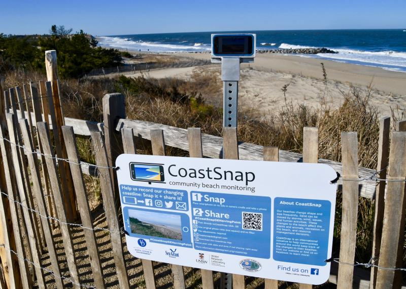
CoastSnap DE is a local program that is part of a larger global community science project. Three smartphone cradles with instructional signage have been set up at Herring Point in Cape Henlopen State Park, Broadkill Beach and Delaware Seashore State Park on the south side of Indian River Inlet.
Officials are asking people to use the cradle to snap a photo and share it with them using a variety of options including an app, Twitter, Facebook and Instagram. Originally developed and tested in Australia, sites have now been established across the globe.
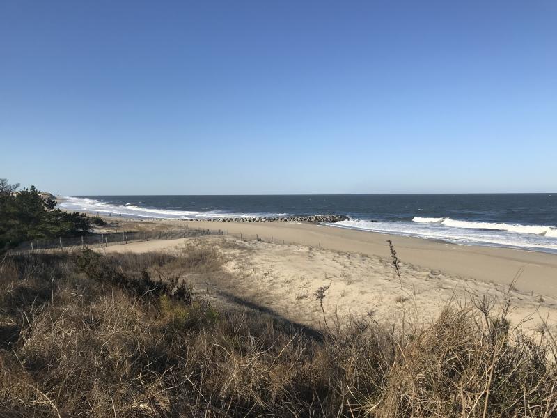
CoastSnap relies on repeat photos at the same location to track how the coast is changing over time due to processes such as storms, rising sea levels, human activities and other factors. Using photogrammetry, CoastSnap turns photos into coastal data, which is used by coastal scientists to understand and forecast how coastlines might change in the coming decades.
Photogrammetry enables the position of the coastline to be pinpointed from photos to an accuracy similar to that of professional coastal survey teams. The more photos environmental officials have of a particular site, the better their understanding becomes of how a coastline is changing over time.
CoastSnap is a community beach monitoring collaboration among University of Delaware oceanographer Art Trembanis, Delaware Sea Grant, and the Delaware Department of Natural Resources and Environmental Control as part of the international CoastSnap Program.


