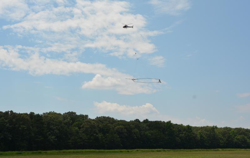
USGS surveying Delaware Bay with helicopter, large loop
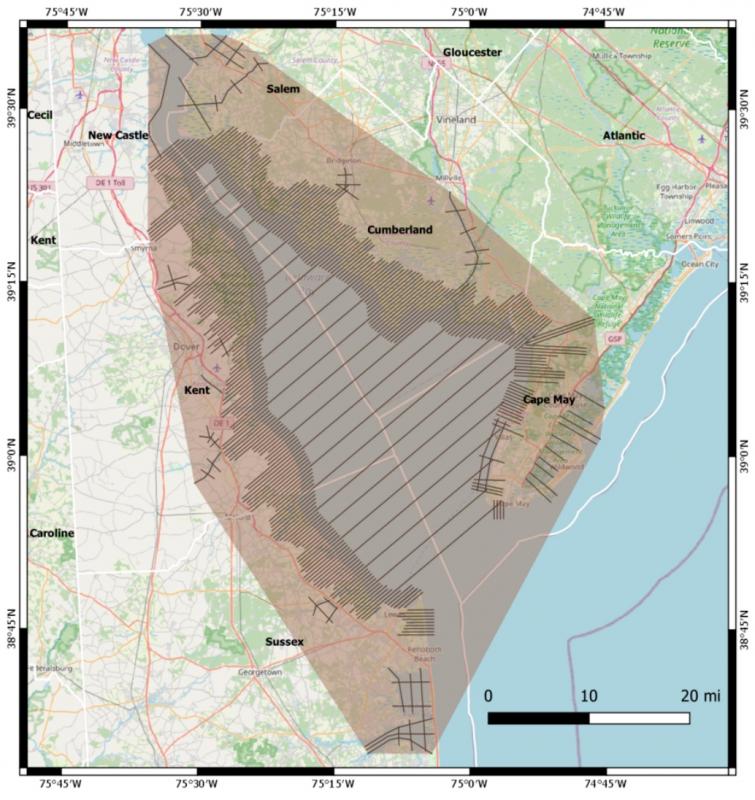
Looking to improve the understanding of groundwater salinity and below-ground geology in and around Delaware Bay, the U.S. Geological Survey has begun low-level survey flights in Delaware and New Jersey.
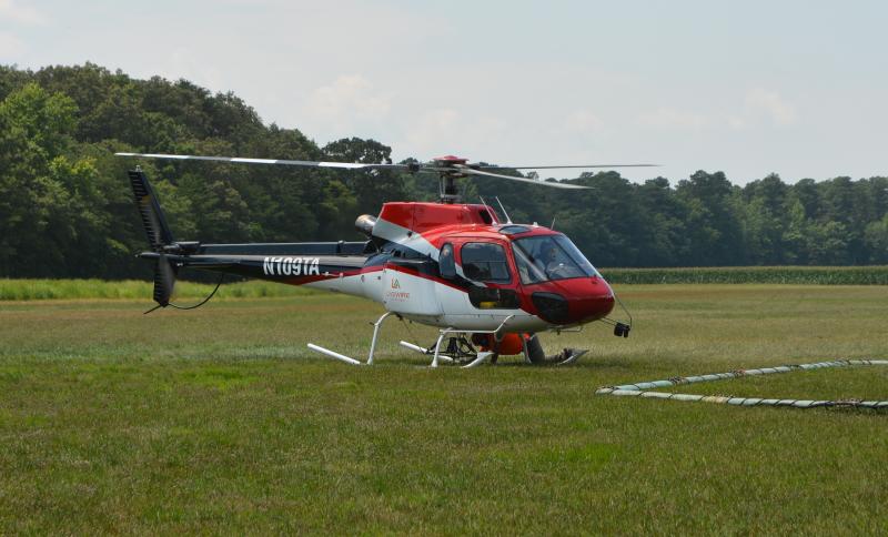
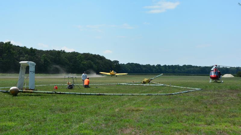
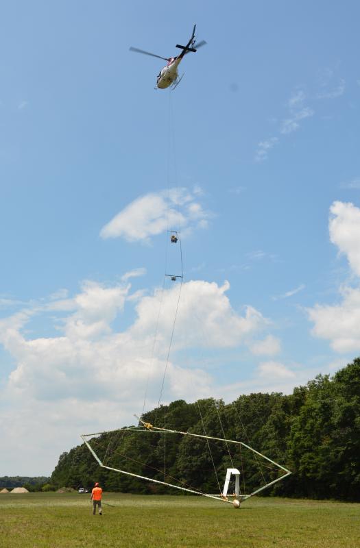
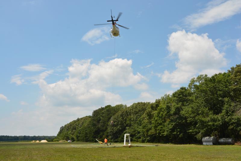
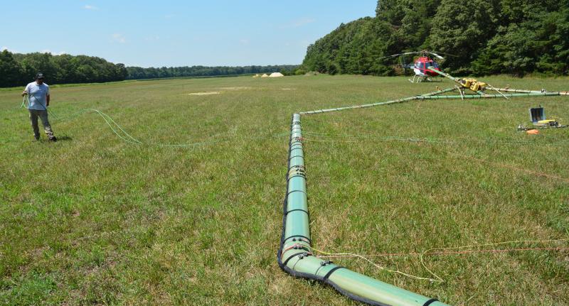
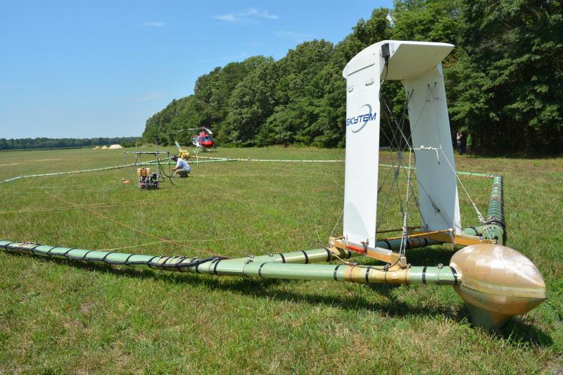
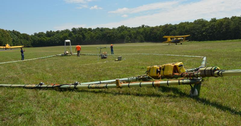
Using a helicopter towing a large hoop from a cable, the survey is part of the USGS’s Next Generation Water Observing System project in the Delaware River Basin.
“The primary purpose of this data collection is to map precisely the transition from saline to fresh water in the aquifer. This is very important information for decision makers and the public, and it’s useful for studying other things like the impacts of sea-level rise and storm surges,” said Chris Trent, USGS spokesperson, in an email July 20.
According to a press release from the USGS, rising sea level, increasing frequency and intensity of coastal storms, and increasing demand for groundwater have amplified the risk of saltwater impacting water supplies in the region. USGS scientists and researchers from the University of Delaware will use the data to set a benchmark against future changes in groundwater salinity in the Delaware Bay region.
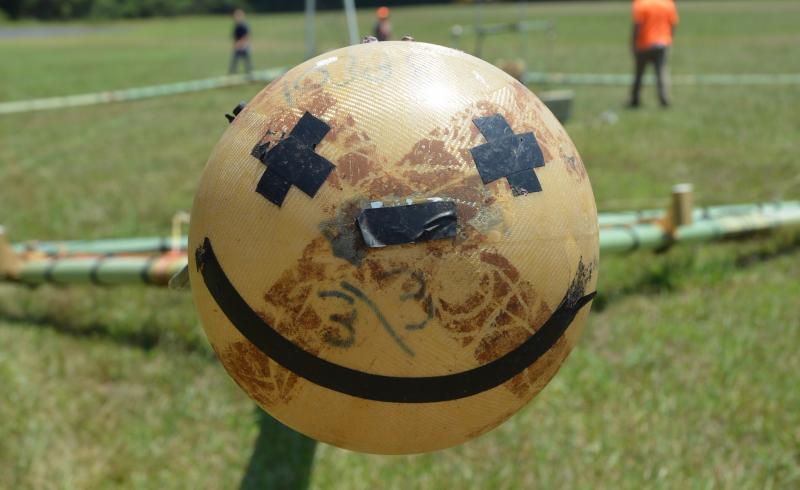
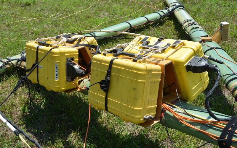
The helicopter will fly along pre-planned flight paths relatively low to the ground – 100 to 200 feet above the surface. A sensor that resembles a large hula hoop will be towed beneath the helicopter to measure tiny electromagnetic signals that can be used to map features below Earth’s surface.
This particular technology, an electromagnetic geophysical survey, has not been deployed in this area for this purpose previously, said Trent.
According to the press release, flight lines will be separated by about a third of a mile when near shore and just under two miles when crossing over Delaware Bay. The study will be conducted by a specialty airborne geophysical survey company, Danish-based SkyTEM ApS. The helicopter will be operated by pilots from Florida-based Livewire Aviation. Surveys do not occur directly above populated areas.
Trent said the system is only flown during daylight hours, and weekend flights are possible. The schedule depends largely on weather, he said.
According to the press release, once complete, USGS scientists will review and process the data, which should be made public within a year. The processed datasets will be used together with existing measurements to better understand groundwater salinity across the study area.
Data is available within days, said Trent, but the USGS and its partners will have to verify the quality of the data, then analyze it to determine what’s been found. That will take several weeks or months, but it will be publicly available at usgs.gov, he said.
USGS-led studies have recently used this type of aerial survey to inform groundwater investigations around the country, including in California, Colorado, Wisconsin and over multiple states covering the lower Mississippi River Valley aquifer system.
Chris Flood has been working for the Cape Gazette since early 2014. He currently covers Rehoboth Beach and Henlopen Acres, but has also covered Dewey Beach and the state government. He covers environmental stories, business stories and random stories on subjects he finds interesting, and he also writes a column called Choppin’ Wood that runs every other week. He’s a graduate of the University of Maine and the Landing School of Boat Building & Design.


