Terrapin Island proposed for Camp Arrowhead Road
UPDATE: At its July 8 meeting, Sussex County Planning and Zoning Commission voted 5-0 to approve the preliminary site plan for Terrapin Island. The developer is now required to submit a revised plan to planning and zoning staff. The commission will then review and vote on the final site plan.
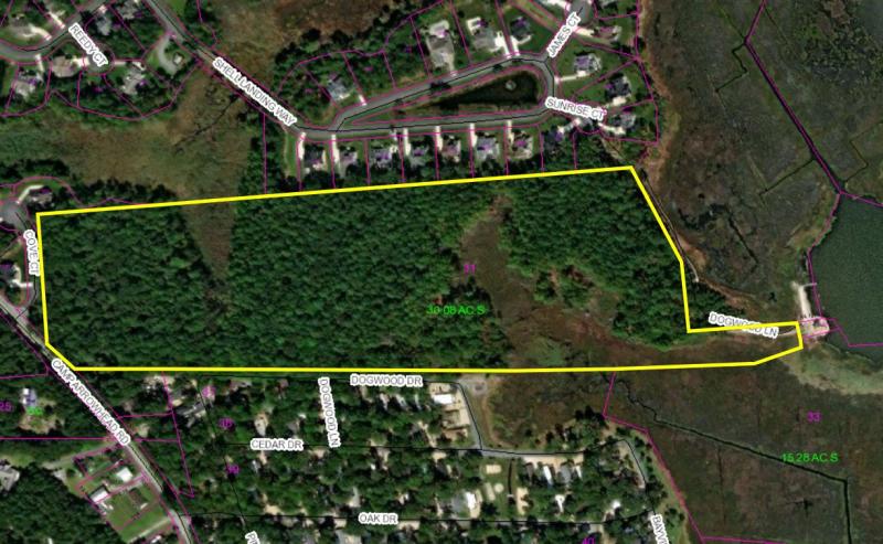
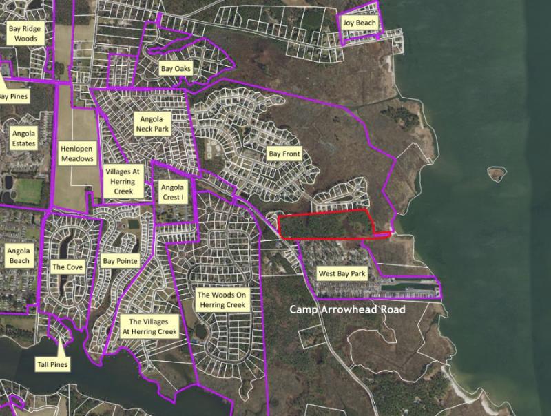
The Sussex County Planning and Zoning Commission heard plans for Terrapin Island, a proposed cluster subdivision with 42 single-family lots on 32 acres with access off Camp Arrowhead Road near Lewes, during a nearly 3-hour public hearing at its June 24 meeting.
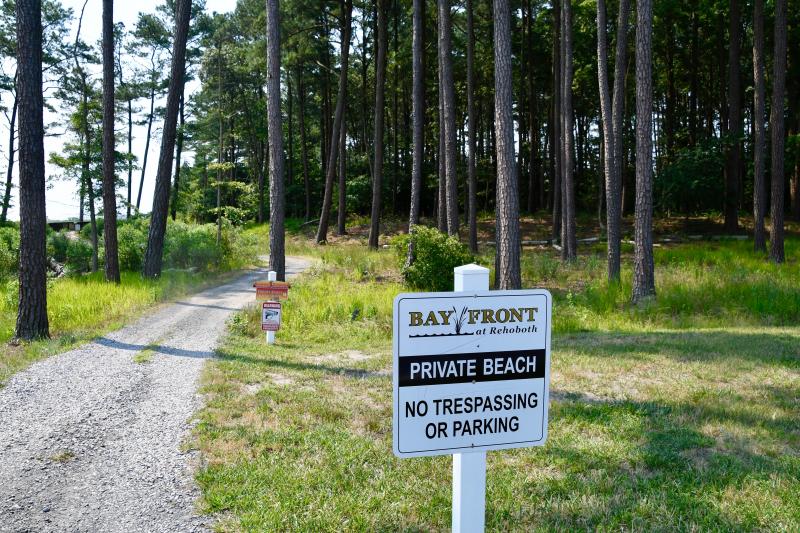
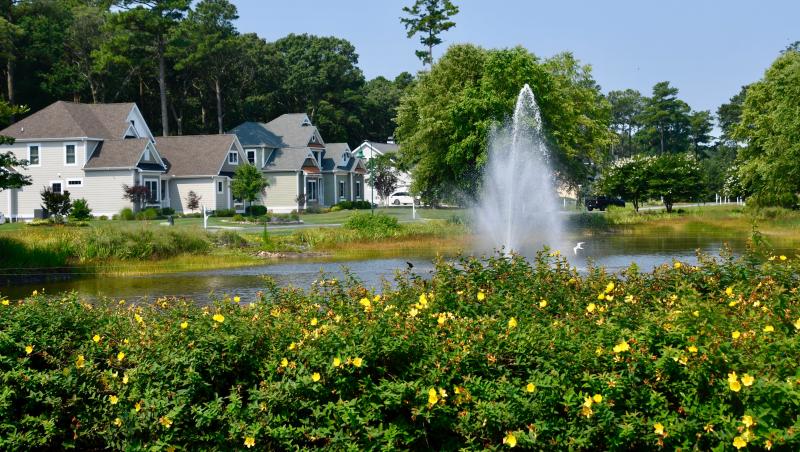
More than 30 percent of the parcel, which borders Rehoboth Bay, contains wetlands – 8 acres of non-tidal wetlands and nearly 4 acres of tidal wetlands. It's bordered by the single-family home Bayfront at Rehoboth community and the West Bay manufactured home park.
Developer of the proposed subdivision, formerly called Salt Cedar, is Riber Development of Millersville, Md., and the property owners are Janet and Robert Hall trustees.
Residents rally against subdivision
Opponents of the proposed subdivision have rallied forces to obtain more than 500 signatures on a petition against the development. Bayfront Homeowners Association President Dianne Besso and other residents have submitted hundreds of pages of testimony and letters for the public record.
Concerns expressed by Bayfront and West Bay residents include paved roads over wetlands, a requested cul-de-sac waiver, removal of trees and wildlife habitat, impact on existing saltwater marshes, potential flooding and increased traffic on Camp Arrowhead Road.
The plan includes removal of 14 acres of the 23 acres of woods on the property.
No superior design elements
The applicant's attorney, Jim Fuqua, said many letters from opponents center around requirements for cluster subdivisions. He said the Terrapin Island cluster subdivision in the county's coastal area is not subject to superior-design requirements for cluster subdivisions. Fuqua said on Feb. 2, county council amended the cluster ordinance requiring all subdivisions – those in coastal areas as well as all other county areas – to follow the same superior-design standards. The application for Terrapin Island was filed in August 2020, prior to the passage of the amended cluster ordinance, and is exempt from the amended ordinance, the attorney said.
On land served by central water and sewer service, developers can build on 7,500-square-foot lots using the cluster option instead of 20,000-square-foot lots for standard subdivisions in AR-1 zoning. Because of the advantages of smaller lots, and more space for amenities, stormwater management and open space, nearly all subdivisions over the past decade have been constructed using the cluster option.
Previously in the coastal area, in order to obtain cluster status, developers were required to provide central water and sewer service, an environmental assessment and public facility evaluation report. That's the ordinance the Terrapin Island application falls under.
Now, superior-design standards are required for all cluster subdivisions, which include, among other stipulations, 30 percent open space in one contiguous land tract; preservation of existing wetlands, waterways, wildlife corridors, farmlands and woodlands as part of design; minimum 25-foot setback from wetlands; limited removal of trees; and preservation of scenic views to the greatest extent possible.
Access for Bayfront residents
Fuqua said the applicant is willing to address reasonable concerns expressed by the HOA and property owners. He said the developer would provide access to an area he called the peninsula, which includes a beach along Rehoboth Bay.
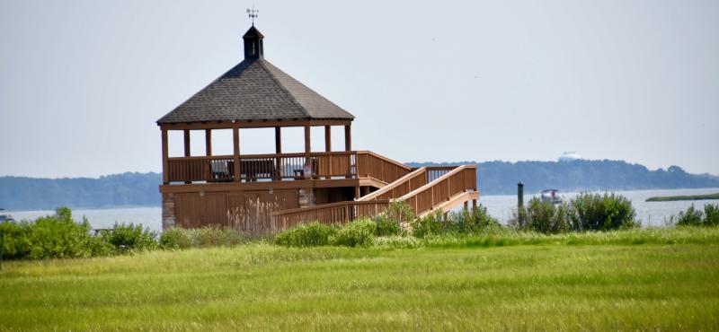
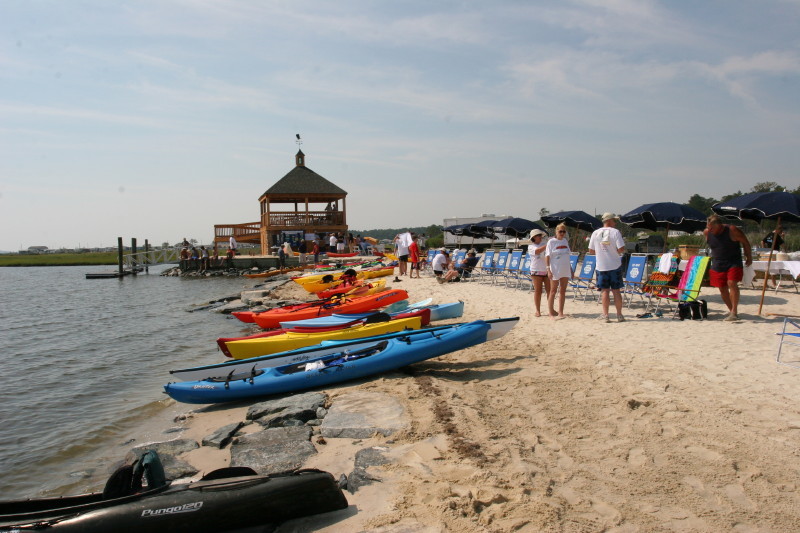
Fuqua said there is not a recorded easement for a pathway from the Bayfront community to the shoreline of Rehoboth Bay where the community has a beach and pavilion. Part of the pathway crosses Terrapin Island property.
The attorney said the developer is willing to proffer an easement as a condition of approval to allow for a pathway to access the beach. In addition, another condition would allow for access by maintenance staff, emergency vehicles and beach replenishment equipment.
Attorney disputes PLUS report
During the Preliminary Land Use Service review of the proposal, state officials opposed the application.
Fuqua said PLUS comments were based on uninformed statements that the parcel is in a rural area where no state infrastructure projects are planned.
Fuqua said the property is located between two communities in a highly developed area served by public utilities.
“This is an infill parcel in a developed area and not a rural area,” he said, adding there is no relation to reality in the PLUS report.
In addition, he said, the state does have plans for an infrastructure project in the area. DelDOT plans to widen Camp Arrowhead Road with 11-foot travel lanes and 5-foot shoulders as part of Henlopen Transportation Improvement District road upgrades.
He said state agencies cannot make land-use decisions, which are under the auspices of Sussex County planning and zoning and county council.
About the subdivision
Land planner Mark Davidson of Pennoni Associates said the average lot size would be about 8,300 square feet, and the development would have a density of 1.49 units per acre.
Proposed is a 20-foot vegetated buffer around the boundary of the property with an additional 10-foot undeveloped area behind lots to convey stormwater. Fifty-foot buffers are included in the plan along tidal wetlands, with a 25-foot building setback along non-tidal wetlands.
Plans also include 16 acres of open space, pocket parks, rolled curbs and gutters, and sidewalks.
Davidson said DelDOT would require road improvements along the property’s frontage on Camp Arrowhead Road to include 11-foot travel lanes and 5-foot shoulders. In addition, a left-turn lane into the community would be extended to include a left-turn lane into Cove Court, which is adjacent to the property and part of the Bay Shore community. No traffic-impact study is required because the proposed daily traffic volume generated by the 42 homes falls under the 500 daily trips required for a study.
Included in the application is a request for a waiver of the maximum 1,000-foot length of a cul-de-sac. Fuqua said as he interprets county code, the regulation includes the word “should” and not the word “shall.”
“Shall means it must be a legal requirement. Should is more of a recommendation,” he said.
Bayfront resident Steve Counts said the requested waiver from the code limit of 1,000 feet to 2,351 feet for a cul-de-sac far exceeds all county standards and is a safety problem.
Wetlands road crossings
Two road crossings of about one-quarter acre of non-tidal wetlands are proposed. Environmental consultant Ed Launay said the location of the roads was selected to have the least amount of impact and be the shortest distance possible. Launay said it's not uncommon for roads to be built over wetlands to access upland areas. He said he's confident the U.S. Army Corps of Engineers will grant a permit for the work.
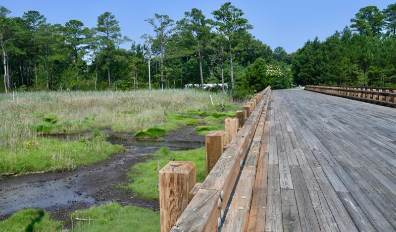
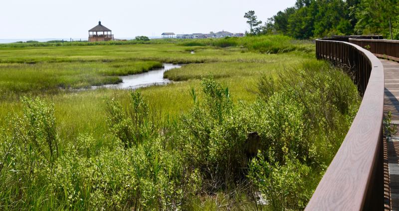
Bayfront has a bridge over a section of wetlands within its community.
Janice Hurff, a Bayfront resident, said the Delaware Department of Natural Resources and Environmental Control has an ongoing marsh restoration program. “How can roads be built over wetlands and ignore this restoration plan?” she asked.
Hurff said the county comprehensive plan allows building using best practices to protect the environment. “Does Terrapin Island protect environmental features?” she asked. “If not, then just say no.”
Area resident Jeff Nayda said paving roads over wetlands goes against the spirit of the comprehensive plan. He said the developer of Bayfront built a wooden bridge over wetlands within the community, which is preferable to a paved road. “I don't want damage to the wetlands regardless of what the Army Corps says,” he said.
The Bayfront bridge provides access to 22 homes and the community's recreation area.
Development on Camp Arrowhead
West Bay resident Dan Huber said the area borders the Angola Neck Nature Preserve. “There will be nothing left for wildlife. It's getting so overbuilt, it's ridiculous; there has to be a limitation somewhere. There is noplace left like this around here.”
He said traffic on Arrowhead Road has skyrocketed since he moved there 15 years ago. “I use to see about 50 cars a day and now it's 5,000,” he said.
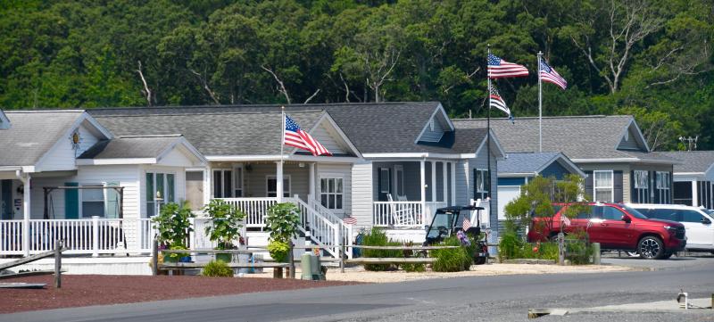
Two other subdivisions, Marsh Island and Marsh Farm Estates, are under construction along Camp Arrowhead Road, which is a mixture of new development and established communities of single-family homes and manufactured homes.
Agrees with state's summation
Rosalind Mailander, a Bayfront resident, said the public record is not complete because it does not contain rebuttal comments from state agencies on the applicant's comments in the PLUS report. “There has been a change in plans. This application should be rejected. The state says this development is not environmentally or fiscally suitable, and we agree with the state,” she said.
Commission Chairman Bob Wheatley said it's the planning and zoning commission that makes land-use decisions, not state officials. “We will decide if the record is complete or not,” he said.
“We are asking you to take the state's experts comments into consideration and allow time for the state to respond,” Mailander said.
Bill Mailander said Bayfront residents appreciate the developer's plan to provide an access easement to the beach area.
“We are asking you to review our submissions and address some of our arguments,” he said.
And, he added, if the commission approves the application, there is a lot of data supplied by residents and the HOA to help commissioners write conditions of approval.
Application on July 8 agenda
At the end of the meeting, the commission voted to defer a vote and placed the application on its Thursday, July 8 agenda.
Commission Chairman Bob Wheatley said although some people don't like it, the parcel is in a growth area as infill development where the comprehensive plan states development should occur.
“I'm not bothered by 42 lots and not bothered by the length of the cul-de-sac,” he said.
“The owner has a right to sell their property,” said Commissioner Keller Hopkins.
See the application at bit.ly/3jXPvha
The application was scheduled for a possible vote at the planning and zoning commission’s July 8 meeting, which was after this edition went to press. See an update online.
