US Wind deploys data-collecting buoy in wind farm area
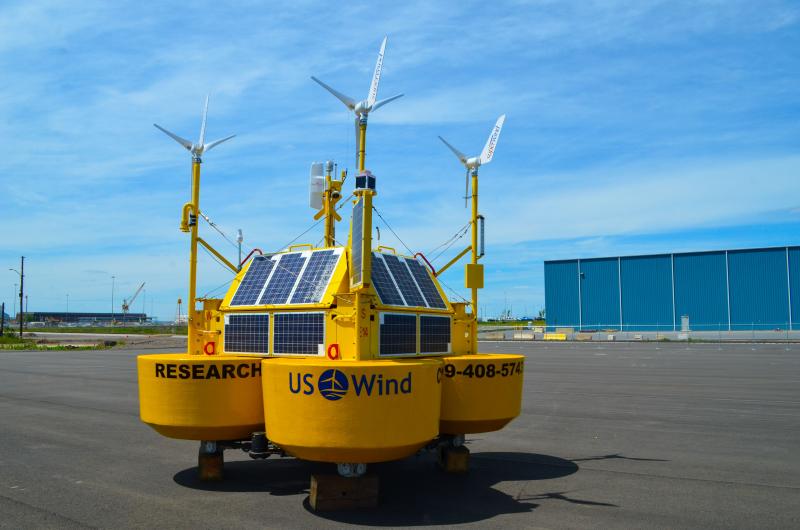
Looking to gather data on wind and marine life, US Wind has deployed a meteorological and oceanographic buoy in its federal lease area off of the coast of Maryland. The buoy is expected to be on site for the next two years.
In a press release May 27, US Wind said Ocean Tech Services constructed and will operate the buoy, called a Floating Light Detection and Ranging. The release says the buoy uses an eye-safe, continuous-wave laser to measure wind speeds and direction across the turbine height.
“The deployment of our metocean buoy is a critical milestone in our commitment to help meet Maryland's renewable energy goals," said Jeff Grybowski, US Wind CEO, in a prepared statement with the release. "The data collected will advance our understanding of wind and wildlife patterns in our lease area to inform the most environmentally responsible and efficient design, project layout, and turbine siting.”
In a follow-up email June 3, Matt Filippelli, US Wind technical director, said the buoy is anchored to the seafloor with a cast-iron sinker that weighs 11,000 pounds. The buoy system includes a trawl-resistant bottom mount on the seabed, and houses hydrophones to listen for dolphin and porpoise echolocation, as well as a telemetry receiver to record tagged fish, said Filippelli.
The buoy is deployed near the center of the lease area to collect representative information for the entire site, Filippelli said. Observations collected by the buoy will be used by US Wind to develop representative site conditions for a variety of engineering, permitting, and commercial applications, she said.
Filippelli said the data will also be used to refine energy production estimates for the project over its lifetime, to verify the suitability of the turbine to operate in the lease area, to refine site-specific tower and foundation designs, and to help inform project construction planning, operations and maintenance strategies.
As for wildlife, Filippelli said, data collected will inform aspects of project design, such as when sensitive species are present, to constrain construction methods and timeframes. She said data will be collected daily using a satellite, with maintenance visits planned at three-month intervals.
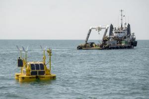
The buoy deployment was staged out of Tradepoint Atlantic, located at Sparrows Point, Md. Filippelli said the route taken by the deployment vessel, M/V Berto Miller, was through the Chesapeake and Delaware Canal and out to the site through Delaware Bay.
The buoy is powered by solar panels and wind turbines, with an onboard fuel cell and battery backup. The buoy monitoring campaign is planned for two years, but Filippelli said the duration may be adjusted based upon findings or other development needs.
Chris Flood has been working for the Cape Gazette since early 2014. He currently covers Rehoboth Beach and Henlopen Acres, but has also covered Dewey Beach and the state government. He covers environmental stories, business stories and random stories on subjects he finds interesting, and he also writes a column called Choppin’ Wood that runs every other week. He’s a graduate of the University of Maine and the Landing School of Boat Building & Design.


