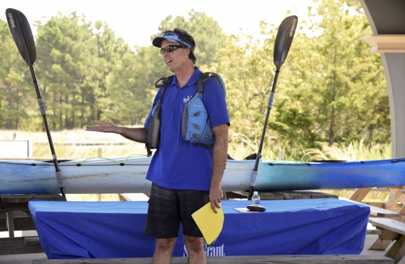
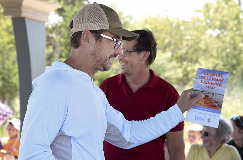
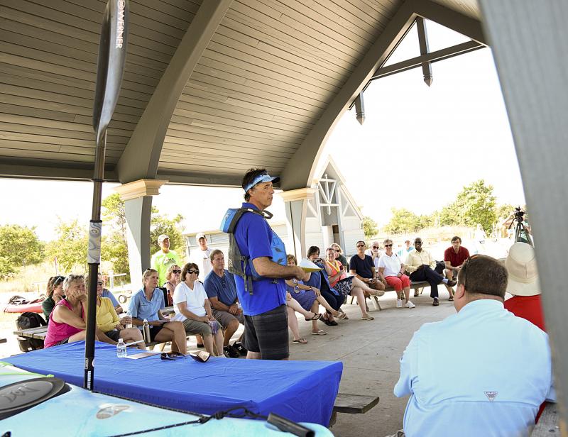
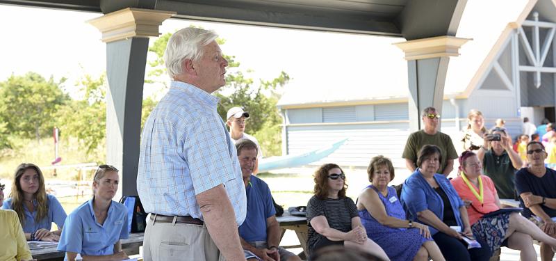
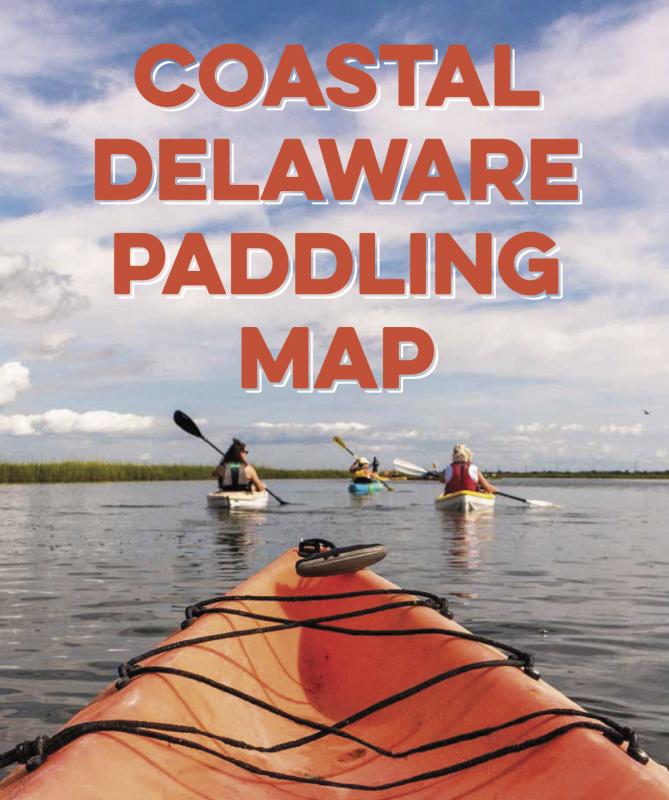
A new map and companion website for those interested in paddling local waterways was unveiled July 30 at the Cape Henlopen State Park Fishing Pier. Funded by the University of Delaware’s Sustainable Coastal Community Initiative, the free map was designed to detail the best paddles along the coast.
Spanning from Milton to Fenwick, the map consists of seven zones, with 16 trails, and covers 75-80 miles. The physical map informs paddlers where to launch from, what to expect along the way, and available amenities such as restaurants, restrooms and trailheads. The Paddle Coastal Delaware website will be updated regularly with new information.
Options for paddling are as diverse as the county, from forested paddles like Trap Pond to the Cape Henlopen lighthouse loop. Ed Lewandowski, Sustainable Coastal Communities coordinator, and a team of experienced paddlers, tourism groups, and outdoor guides contributed to the project. Jim Rapp and Dave Wilson helped create the cohesive and informative directory.
The website includes a printable map, a list of area outfitters, links to town websites, state parks, and area attractions. Details about safety and links to tides, weather, and bird checklists are included.
The Delaware Seashore State Park Paddlefest is set Saturday, Aug. 24, and Delmarva Paddling Weekend is planned for Saturday and Sunday, Sept. 28-29. For information go to www.paddlecoastaldelaware.com.
Some locations offering the map:
1. Lewes Chamber Office at 120 Kings Hwy, Lewes, DE 19958
2. UD’s Sharp Campus/Cannon Lab/Room 204, also in Lewes
3. Bethany-Fenwick Chamber
4. Delaware Seashore State Park office
5. Cape Henlopen at the Quest kayak stand
6. Southern DE Tourism office
