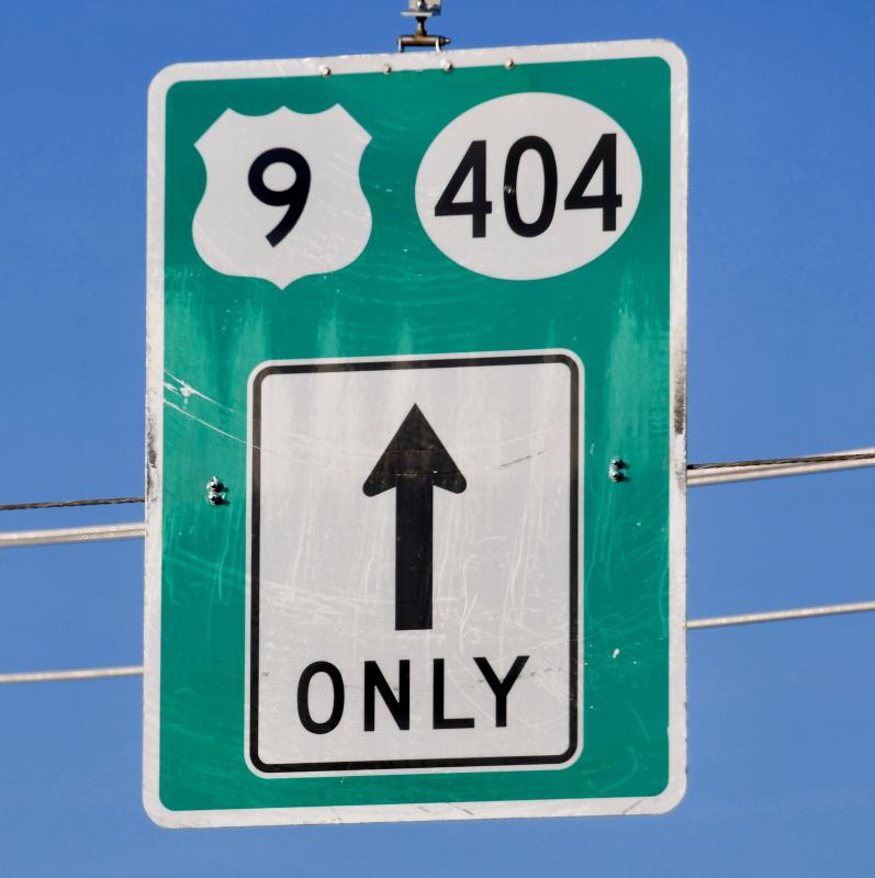
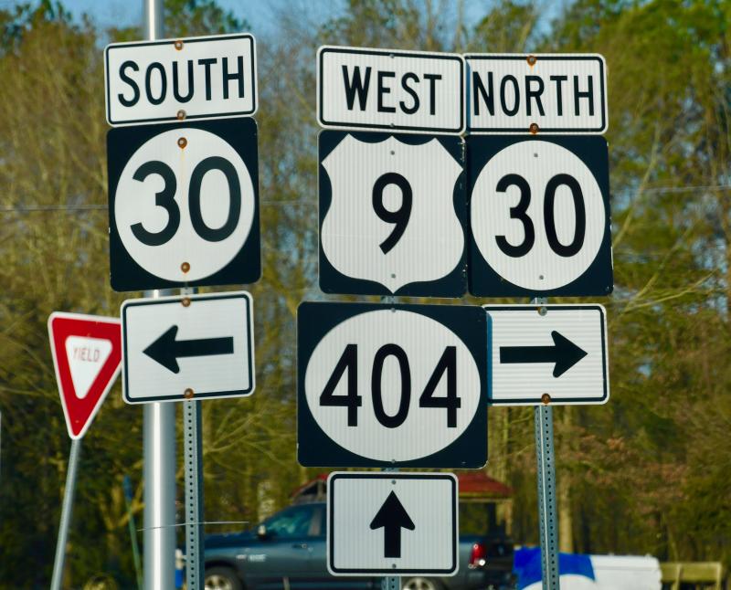
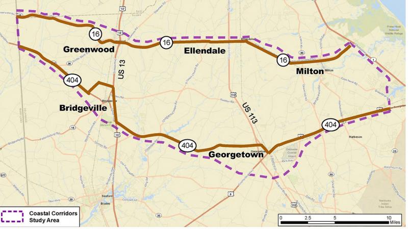
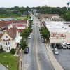
State transportation officials have launched the Coastal Corridors Study to compile data, and gather input from officials and the public on two of the major east-west roads in Sussex County, Route 16 and Route 404/9, and the local roads connecting to them.
The two roads are the main east-west routes for travel to the beach-resort areas in and around Lewes, Rehoboth Beach and Dewey Beach.
Delaware Department of Transportation sponsored five virtual workshops March 8-12 to present data collected so far, and gather input via Zoom questionnaires and public comment.
DelDOT consultant Jeff Riegner said input is critical to the study process. “We need to plan for future traffic growth, and we can't do that without your help,” he said during the virtual workshops.
Prepare for more traffic
Riegner said most of Route 404 has been dualized in Maryland, and officials are exploring the idea of a third span of the Chesapeake Bay Bridge, making travel to Sussex County easier. He said development pressures in the area are also a key factor impacting traffic in the study area. “The beaches continue to attract visitors locally and from long distances,” he said.
The ultimate goal of the study is to develop road improvements along the two corridors.
“This is a study to look at what improvements might be needed the next 20 to 25 years. We are a long way from any projects related to the workshops, but there are some projects already underway or scheduled which are not related to the study,” he said.
Proposed projects include grade-separated interchanges at Route 1 and Route 16 near Milton, Route 113 and Route 404 in Georgetown, and Route 113 and Route 16 in Ellendale; Park Avenue truck route relocation and intersection improvements; and Route 9 and Route 5 intersection improvements. Under construction is the Georgetown Gateway project to realign the Route 9-Airport Road-Sand Hill Road intersection with new turn lanes, crosswalks, walkways and a roundabout at the CHEER Center entrance on Sand Hill Road.
Riegner said the highest traffic counts in the study area have been recorded along Routes 113 and 13 with more than 20,000 vehicles per day.
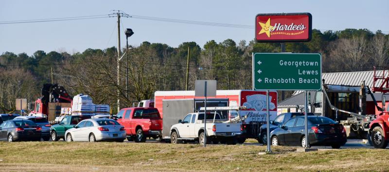
The worst areas for congestion include Route 9 from Route 113 in Georgetown to Route 1 in Lewes, which experiences congestion in both directions on weekdays and weekends.
On Route 16, traffic is from 5,000 to 10,000 vehicles per day and on Route 404/9, from 10,000 to 20,000 vehicles per day.
Issues, concerns tabulated so far
Riegner said during the first round of interviews with elected and appointed officials, business owners, school officials, residents and emergency service providers, the following issues surfaced: Preservation of farmland; a high volume of trucks, particularly poultry plant tractor-trailers; the need for an updated evacuation route; and development pressures creating increased traffic. Some said businesses in towns in the study area depend on people driving on the major roads, and they do not want a bypass around Georgetown. Emergency personnel expressed concerns with east-west travel congestion impacting emergency vehicles, including ambulances going to Beebe Healthcare in Lewes and Bayhealth in Milford.
Safety concerns were expressed for the following roads and intersections: Route 404 and Coverdale Road near Bridgeville; Cave Neck Road, Sweetbriar Road and Hudson Road; Route 113 and Redden Road; Route 13 and Rifle Range Road; Redden Road; Gravel Hill Road; and Sand Hill Road.
“The only common theme was that people love Sussex County and don't want to lose their small-town and rural way of life,” Riegner said.
Other issues:
• Concerns for farmers operating equipment on roadways, especially those with no shoulders
• Truck traffic in towns
• East-west route that does pass through Georgetown
• More and more drivers using secondary roads to avoid congestion
• Workers who live in mid- and western Sussex using the two east-west roads, especially Route 404/9, to reach their jobs in the beach area, creating traffic congestion on weekdays, not just weekends
• Better use of technology to direct motorists to take routes based on traffic conditions
• Updated GPS to direct trucks to truck routes.
Safety-related data in study area
Riegner said there were 3,216 vehicle crashes in the study area from 2017 through 2020, with 14 fatal crashes. Redden Road between Georgetown and Ellendale, and Route 13 in western Sussex have been identified as areas of concern. Fourteen crashes involved pedestrians or cyclists, with three pedestrian deaths.
Two key intersections in the study area – Route 113 and Route 9, ranked second, and Route 113 and Route 404, ranked fifth – are ranked in the top five intersections in the state for vehicle crashes. He said all Georgetown Route 113 intersections have high crash rates.
More than 520 crashes were rear-end collisions or one-vehicle crashes – vehicles running off the road and hitting fixed objects. Most were caused by fatigue, distraction and inattention. Ten percent of all crashes, or 339, involved hitting a deer, with 70 percent of those at night.
Fatal crashes: 3 in 2017; 3 in 2018; 5 in 2019; and 3 in 2020.
For more information or to provide comments, email project manager Jennifer Cinelli at jennifer.cinelli@delaware.gov.
The study website is coastalcorridors.deldot.gov.
